Posts

The Making of Alaska

The Making of Alaska Some time ago, my father-in-lawI found that the USGS publishes some really cool US geographical data for free via their National Map Download ("TNM Download") tool at https://viewer.nationalmap.gov/basic .  Using this tool, you can select a geographical area on a map, then find and download elevation, boundary, hydrography, and many other types of data available for the selected area.  I downloaded boundary and elevation data for Arizona and, with much C# programming, generated a 3-D tile for the state. \[x=\rho\sin\left({\theta}\right)\] \[y=1.5616640-\rho\cos\left({\theta}\right)\]
RExArt

Image
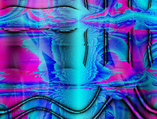
The RExArt Project My son-in-law, Martijn, showed me a cool project he has been working with on and off since his college days.  The basic idea is this: build an expression by randomly combining a set of built-in functions, and then use that expression to generate a color for each pixel on an arbitrarily sized canvas.  I've called my implementation of this idea "RExArt", for Random Expression Art. To cut to the chase, here's an example of a RExArt image: It uses three randomly generated expressions to produce an HSV (hue/saturation/value) color at each pixel in a 1000 x 800 grid.  The randomly generated equations (ready for this?) are: (Hue)    Mod(Length(Cos(Sin(Times(Add(Tri(Round2(Sin(Z())),Times(Div(X(),Z()),Cos(Z())),Sin(Tri(X(),Z(),X()))),Length(Div(Div(X(),Z()),Round2(X())),Round2(Mod(Z(),Y())))),Round2(Round2(Cos(Div(Y(),Z()))))))),Add(Length(Div(Div(Sin(Tri(Tri(Z(),X(),Z()),Round2(X()),Times(Y(),Z()))),Tri(Cos(Cos(X())),Tri(Round2(Z()),Mod(Z(),Z(